The Embarcadero is both transportation corridor and historical shoreline. Ferries, piers, seawalls, public art, markets and maritime parks make it a natural companion to Alcatraz. The danger is trying to turn a timed ferry morning into a checklist of attractions. Use distance and cancellation, not ambition, to design the route.
The before-ferry rule: stay cancellable
Before boarding, choose only public-space stops that can be abandoned immediately: a bay overlook, a short stretch of promenade or an exterior view. A café queue, museum admission or distant photo objective can consume the margin intended for check-in. Set a “turn toward Pier 33” time based on the official arrival instruction, not on the vessel’s departure alone.
Keep the group on the pier side of the Embarcadero when practical and use marked crossings. Cyclists, streetcars, buses and vehicles all share the corridor. Stop for photographs outside the moving path.
Southbound frame: Ferry Building and working bay
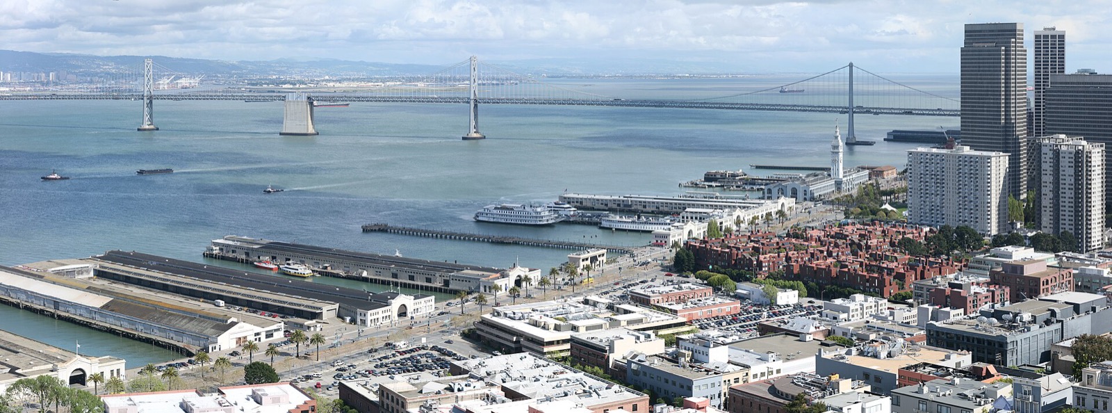
South of Pier 33, the waterfront leads toward the Ferry Building. Its clock tower is a strong orientation landmark, while ferry gates and views toward the Bay Bridge show that San Francisco Bay remains a transportation system rather than scenery alone. Current market, shop and ferry hours vary; the exterior and public promenade can still provide context without a purchase.
This direction works well after an earlier Alcatraz visit when the group wants transit connections, food options or a clear path toward downtown. Use a current map for distance and construction conditions. Do not schedule a vendor reservation based on our route description.
Northbound frame: fishing harbor and maritime park
North of Pier 33, the Embarcadero reaches Pier 39 and Fisherman’s Wharf, then continues toward San Francisco Maritime National Historical Park. These areas range from heavily commercial to deeply historical. Decide whether the goal is a quick public-waterfront walk, a meal or a separate museum visit; attempting all three immediately after Alcatraz can flatten the day.
The maritime park offers a useful historical counterpoint. Alcatraz describes federal power on an island; the waterfront describes labor, vessels, migration and the city’s relationship with the Pacific. Current ship access, visitor-center hours and fees belong to the National Park Service.
A two-direction decision table
| Direction from Pier 33 | Best for | Protect against |
|---|---|---|
| South toward Ferry Building | Transit connections, Bay Bridge views, downtown continuation | Assuming every indoor venue is open |
| North toward Fisherman’s Wharf | Maritime park context, harbor views, longer visitor district | Crowds and an overfilled afternoon |
| Stay near Pier 33 | Short margin, limited energy, uncertain weather | Turning waiting time into unnecessary distance |
Use the island as the midpoint, not the finish line
After returning, check three things before choosing a direction: energy, weather and the next fixed commitment. Cold or fatigued visitors may benefit from the most direct transit route rather than another exposed walk. If fog has lifted, a view unavailable in the morning may now be worth a short pause.
Discuss what the island changed. The occupation may shift attention toward Native presence; the Cellhouse may raise questions about federal power; nesting closures may make the bay feel more ecological than architectural. Let that question choose the next stop instead of following a generic “top ten” list.
Street safety and urban awareness
Use current official transit and city information. Keep phones and cameras controlled near the curb, do not leave valuables visible in vehicles and avoid blocking ramps or tactile paths. Waterfront weather can change quickly. If conditions feel unsafe or a route is closed, turn back without treating the original plan as an obligation.
- Set a hard turn-toward-pier time before any morning walk.
- Use current maps, transit notices and marked crossings.
- Keep pre-ferry stops free and cancellable.
- After returning, choose north, south or stop based on energy.
- Verify museum, vessel and market details at their official sources.
- Leave enough time for the final transit connection.